Drone Roof Inspection in Jersey City, NJ
Map a Jersey City commercial roof with drone imagery, labeled roof zones, and a field follow-up plan for drains, edges, and concealed conditions.
Map a Jersey City commercial roof with drone imagery, labeled roof zones, and a field follow-up plan for drains, edges, and concealed conditions.
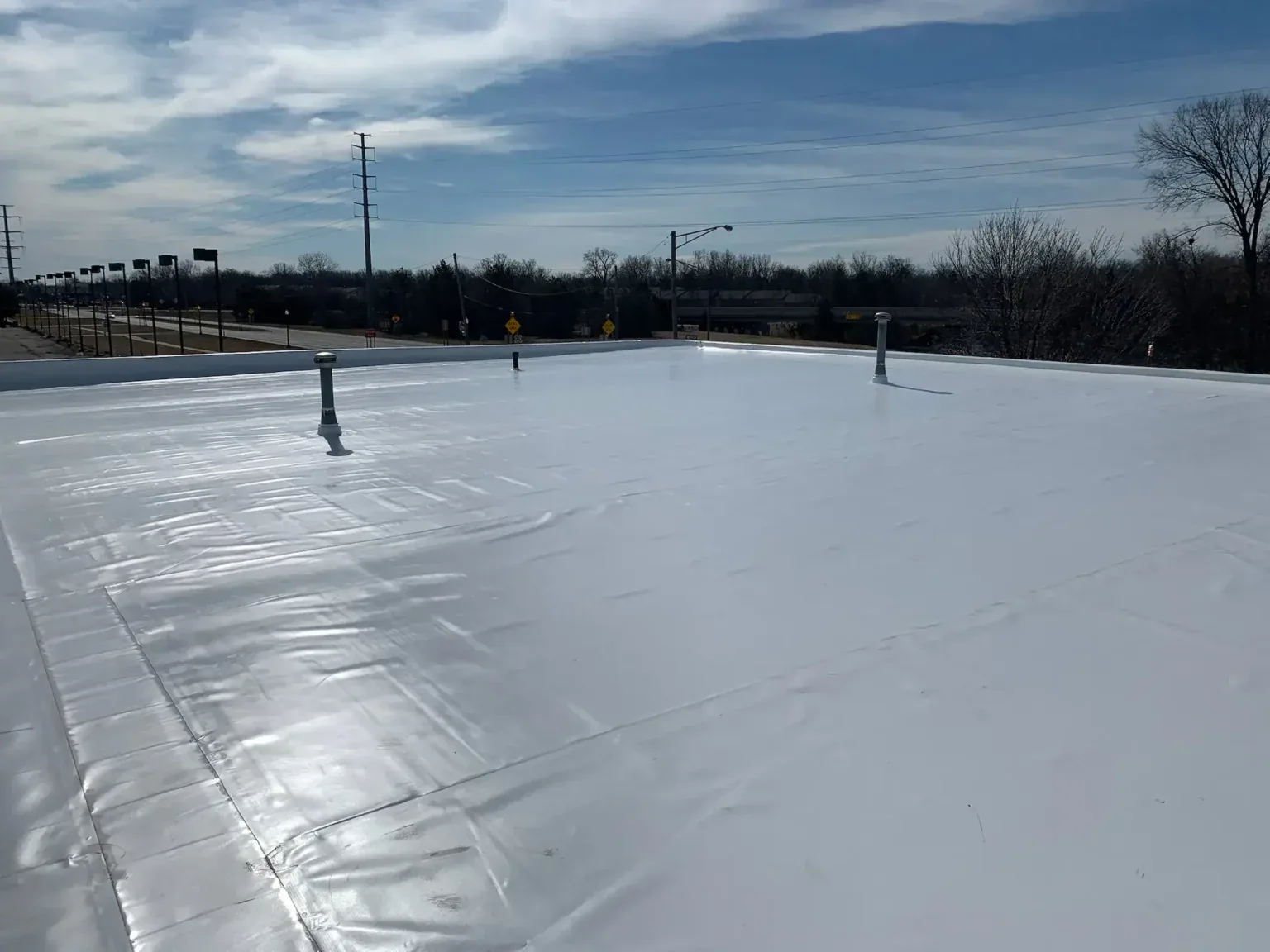
An aerial pass can answer a roof-zone question before a crew stages equipment at a Jersey City property. We use drone views to map visible membrane, edge, curb, and drainage conditions across a Jersey City roof. The flight helps define where a closer walk is needed. A commercial roof inspection still confirms the surface, attachment, and details that an image cannot test.
Jersey City is a dense coastal community. Irene and Sandy brought power outages, severe flooding, and property damage; the image plan starts with roof access, drainage, and perimeter zones. We identify the zones to capture, coordinate the site's access rules, and deliver labeled views that connect to an owner decision, not a gallery of disconnected photos.
Before launch, the property contact identifies roof sections, courtyards, loading areas, occupied floors, sensitive operations, and any place the aircraft should avoid. We agree on timing, access, and how the crew can move once the flight ends. A dense block can constrain vantage points, so the image plan may use several short passes rather than one broad sweep.
We also confirm the purpose of each frame: compare a prior patch, inspect an edge from a safe angle, or locate a drainage pattern. Capture notes identify direction and approximate roof zone. If a view cannot resolve the detail, the report marks it for field access instead of treating image sharpness as proof of membrane condition. This keeps the survey tied to a decision the owner can make.
Central Avenue and Journal Square are commercial centers; Greenville Industrial and Tonnele Avenue Light Industrial are distinct Jersey City industrial areas. Those names do not determine whether a drone can see a roof safely. The site walk confirms obstructions, access, and operational restrictions. The flight plan records the viewpoints and roof zones captured, then identifies blind spots for a hands-on follow-up.
Identify roof access rules, operating areas, and the zones that need review. We will capture labeled views and identify where a hands-on inspection should follow.
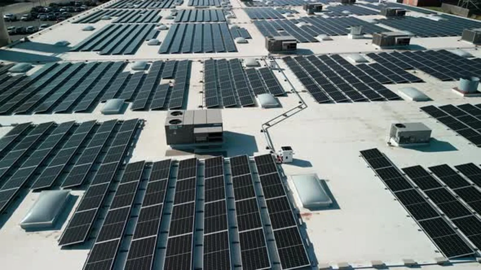
Overhead and angled images can reveal ponding patterns, debris accumulation, displaced equipment, open edge conditions, visible patchwork, and surface changes between roof zones. Angled views are useful at parapets, curbs, skylights, and rooftop transitions. We label each image with the roof area and direction so a facility team can compare it with a prior survey or maintenance record.
Broad frames help the property manager understand the overall layout, while closer angles isolate a curb or perimeter condition. We keep enough context in the image to show which roof section is involved. The crew can then plan a safe route and bring the right repair materials if the follow-up confirms an opening. Images remain useful only when their locations are clear.
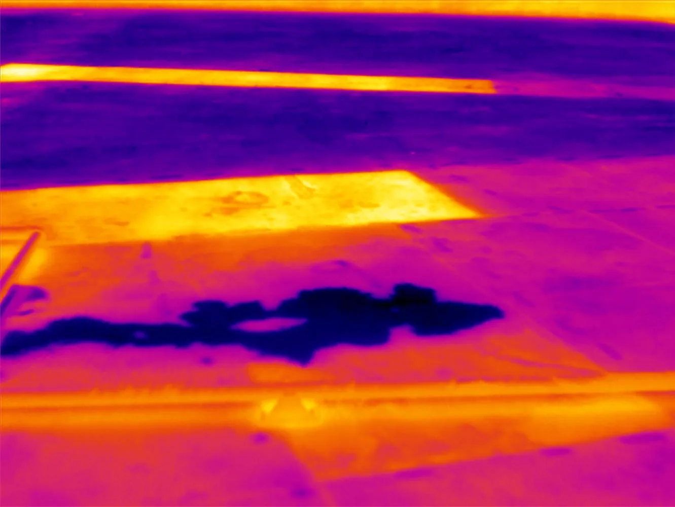
An image does not establish how a seam is bonded or whether insulation is wet below the membrane. We use visual evidence to target a closer inspection, not to infer concealed layers. If an aerial view shows a suspicious area, a crew can verify it with a roof walk, test cut, or infrared moisture survey when conditions support that method. The report keeps each observation tied to the next check.
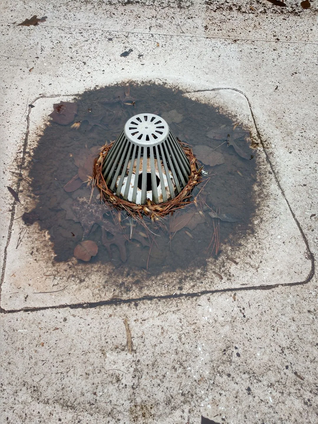
Jersey City’s combined sewer system faces stormwater loading, so visible roof outlets and low areas deserve a deliberate pass. Aerial views can map where water appears to hold, where debris blocks a route, and whether scuppers or overflow paths are visible. We note what the imagery shows, then confirm drain bowls, strainers, flashing, and flow at roof level.
Edges and parapets need angled coverage. A straight-down frame may hide a loose termination or split at a wall. We capture the perimeter from several directions and mark any section blocked by equipment or neighboring structures. The owner can then decide whether the next mobilization should include a drain and scupper check, edge repair, or a broader inspection. We separate visible water patterns from confirmed drainage failures.
The handoff includes selected high-resolution images, a roof-zone map, capture date, and notes about visibility. We distinguish an image observation from a condition that needs physical confirmation. The property team can use the set to brief maintenance staff, compare zones, and prioritize safe access. If the flight leaves a blind area, we name it rather than filling the gap with a guess.
Before images enter a capital file, we organize them by roof zone and date, with captions that identify which detail can be observed. We avoid one wide photo for several separate issues. Clear indexing lets maintenance compare the same edge, drain, or curb after repair and decide whether a new field visit is warranted.
Jersey City has seen investment in Downtown, Newport, and Journal Square as its built environment changed. A portfolio record can therefore include roof zones from different building phases without assuming one shared assembly. We keep each location's images tied to its own roof plan. A condition report can combine those views with Diligence Notes, seam checks, and repair recommendations for the capital file.
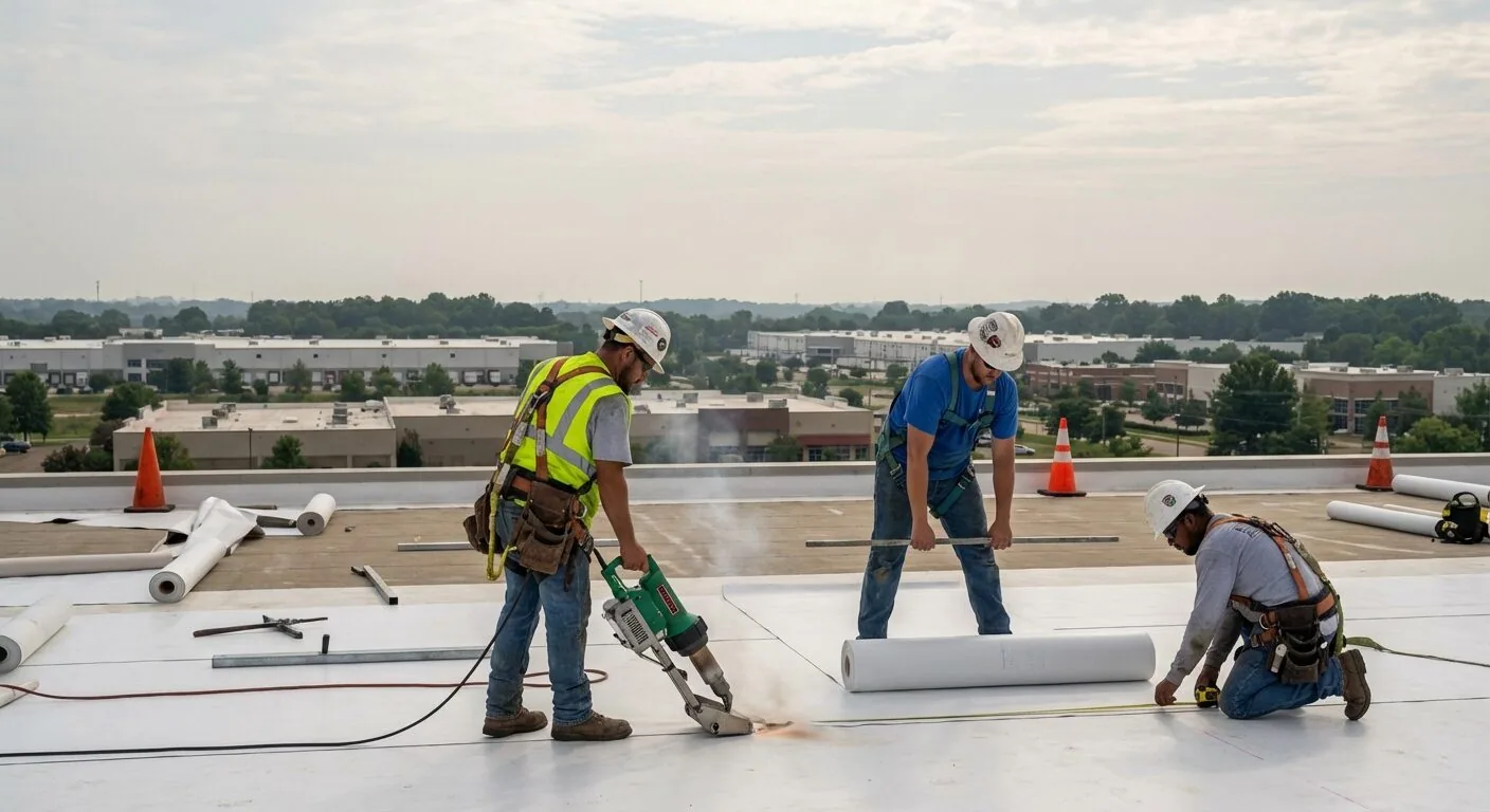
Hands-on access is needed to test adhesion, feel a soft area, inspect a seam edge, measure drain depth, or confirm substrate condition. The images help direct that work and can reduce time spent searching across a large surface. We schedule the walk around roof access, tenants, equipment, and any location that could not be viewed from above.
A field visit can also confirm access around roof equipment that blocked a camera view. We compare the image map with the hatch route, identify any unsafe or restricted zone, and record the conditions that require an escort or shutdown. The asset manager receives a short list of questions to resolve before the next crew mobilization. That reduces repeated setup and keeps the inspection focused.
If imagery points to a split lap or puncture, the repair scope follows the verified detail. A commercial roof repair can then name the patch boundary and tie-in. For an asset in Hoboken, we capture a separate roof map and do not combine conditions across municipal boundaries. The field handoff lists the open questions the property team can resolve next.